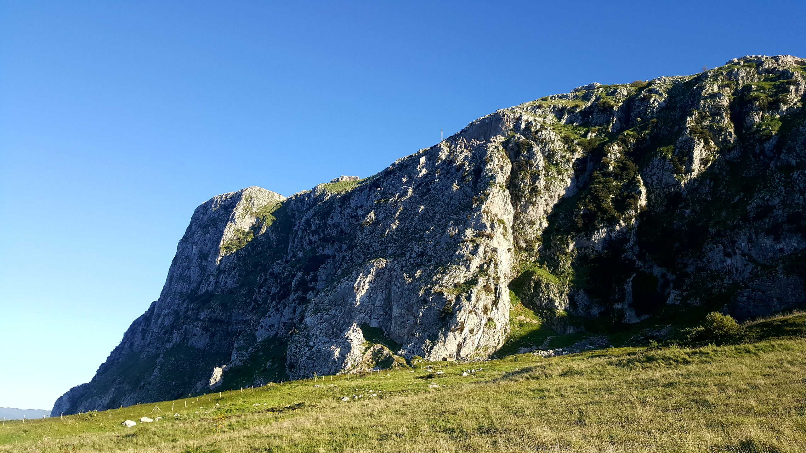
Monte Kumeta
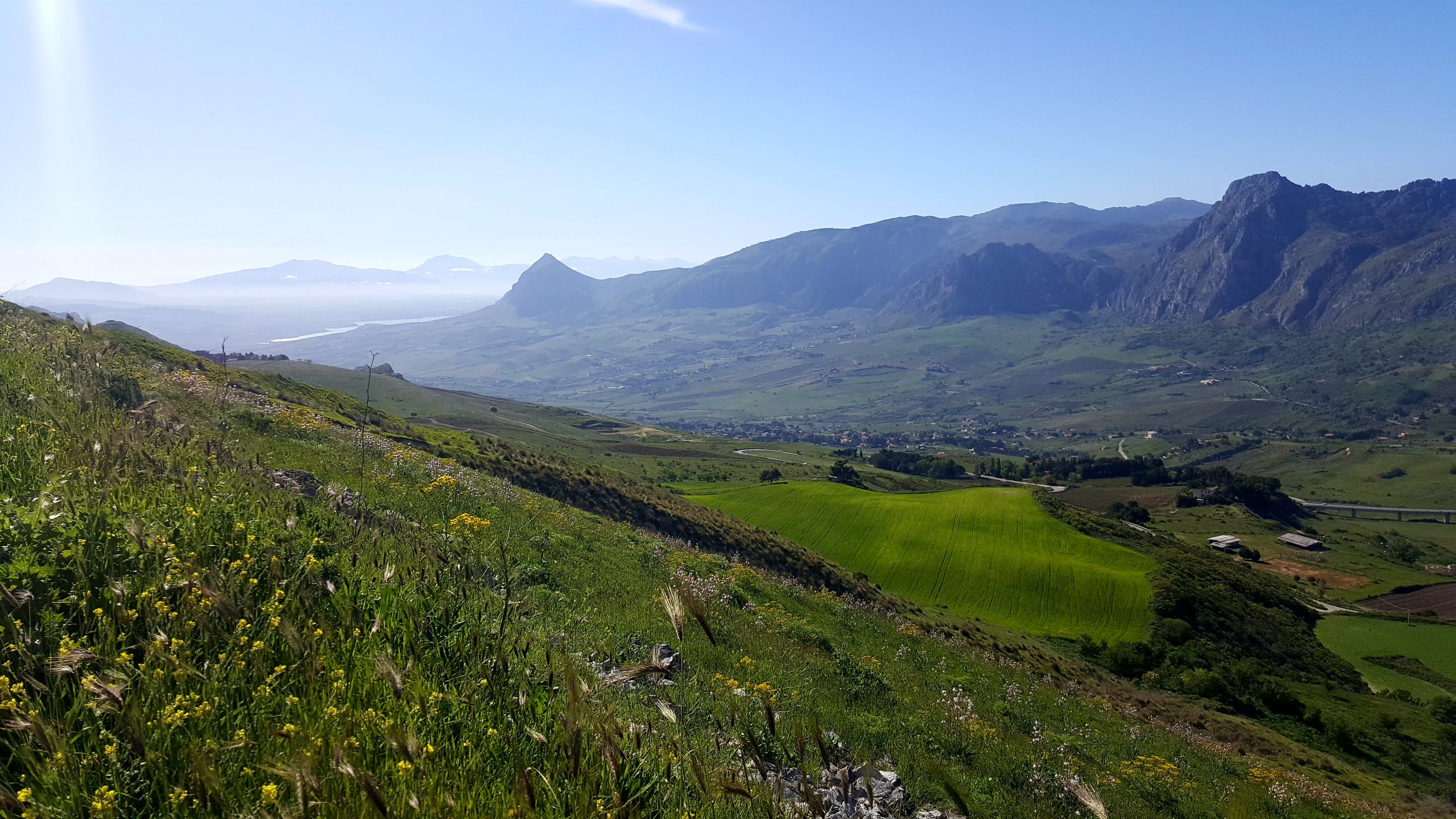
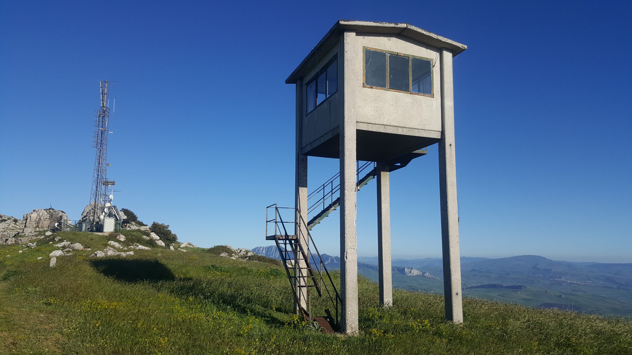
Mount Kumeta (1233 m.s.l.m.), located in the south-west direction of Piana degli Albanesi, is a rocky massif that holds numerous fossils and has a vegetation of mosses and lichens.
In the façade partly facing Piana degli Albanesi the mountain shows some still visible signs left by the marble quarries.
The chromatic tones range from flowery white, to pink, to Rosso Kumeta or Montecitorio, so-called because the columns of the Palazzo Montecitorio, seat of the National Parliament in Rome, were made with this marble.
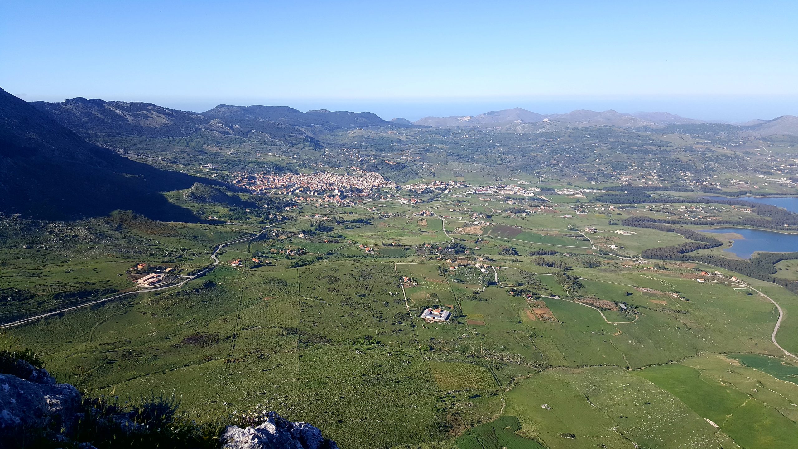
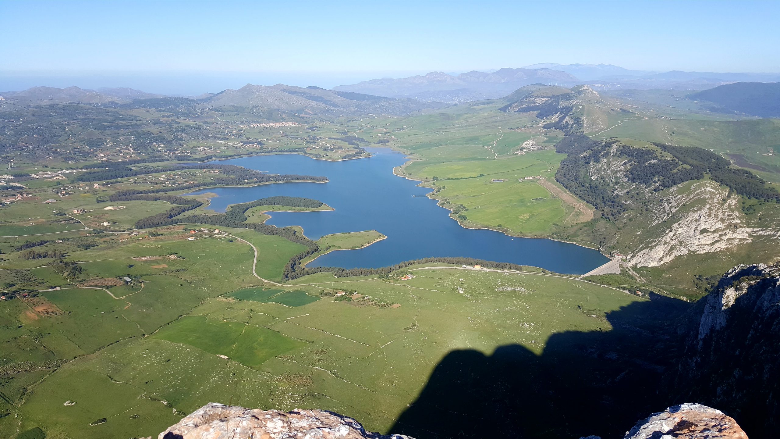
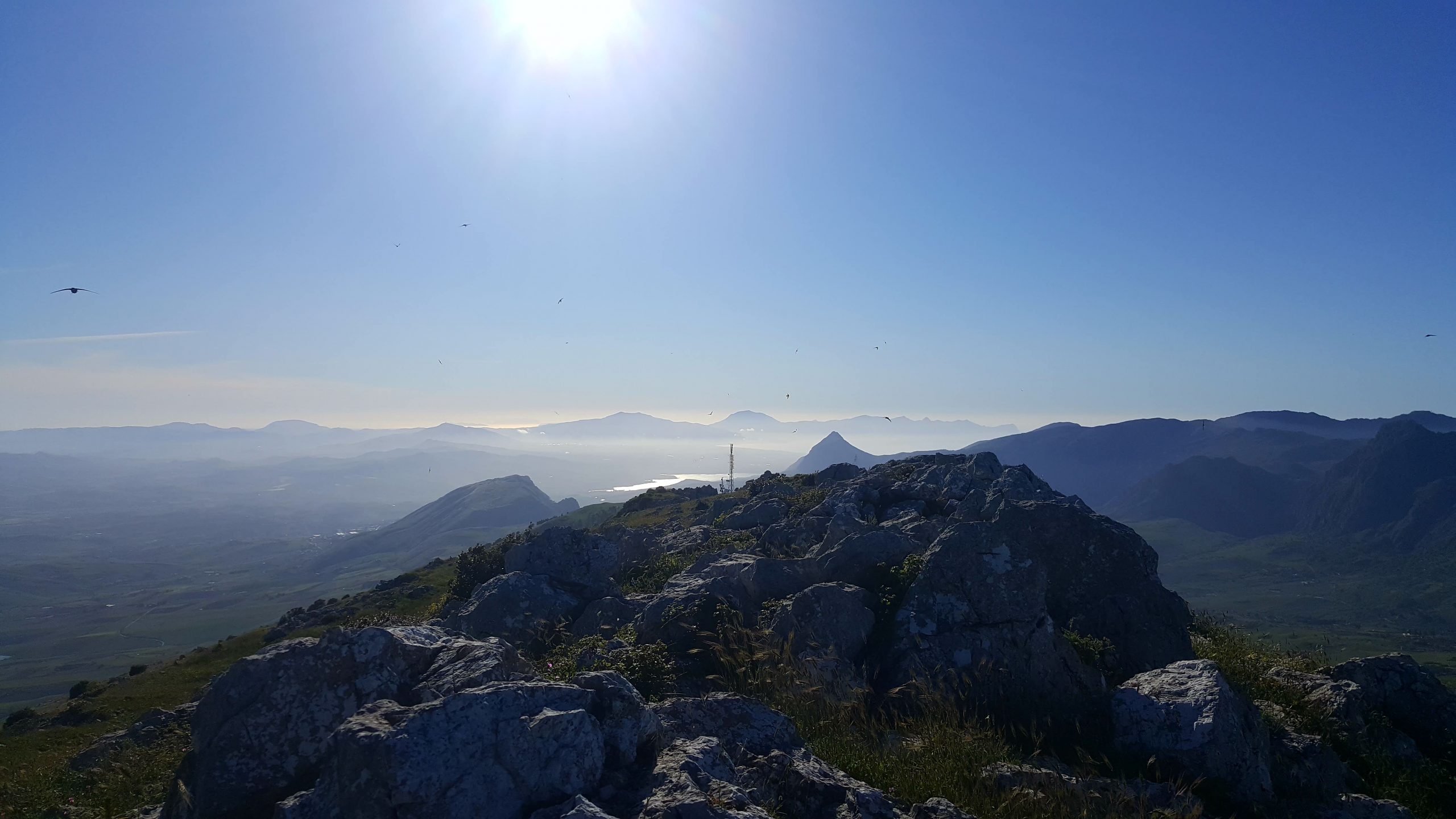
From the top of Mount Kumeta, you will enjoy a breathtaking 360 ° view and you will be able to admire:
Monte Pizzuta and Monte Xeravulli
Piana degli Albanesi
the Lake of Piana degli Albanesi
Santa Cristina Gela
Marineo the Monte Leardo, the Massiccio Rossella and the Monte Maganoce
the Scanzano Lake
the Ficuzza nature reserve with the suggestive hunting lodge of King Ferdinand IV of Bourbon
Rocca Busambra
Godrano
il Santuario di Tagliavia
Corleone
San Giuseppe Jato
Poma Lake
the sea of Castellammare del Golfo
*** Activate the location on your smartphone, click on REAL TIME TRAIL to be guided along the whole path ***
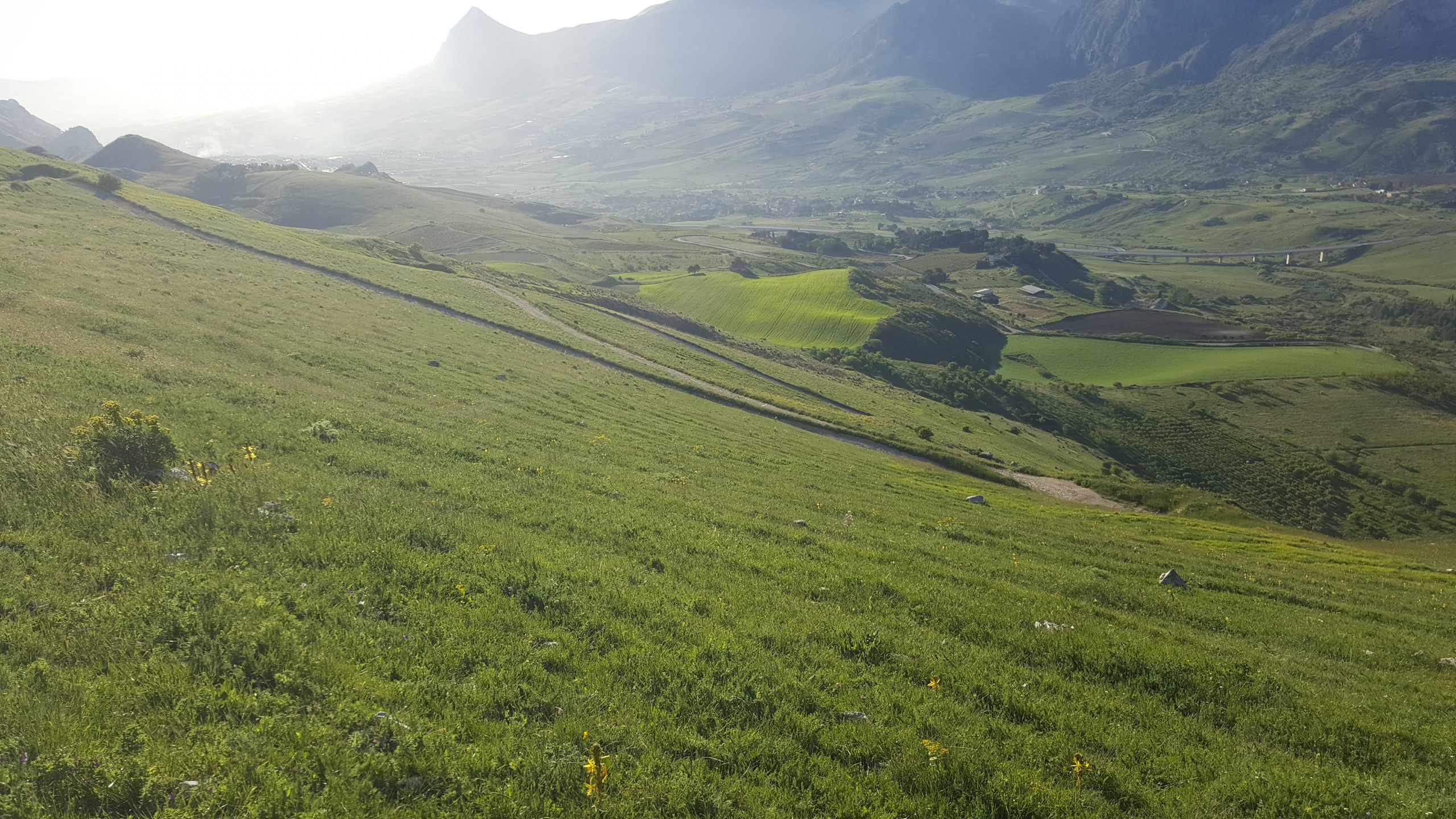
Difficoltà: easy -> unpaved dirt road and paths.
Length of the route: 8 km (starting from Portella della Ginestra you will reach the top after 4 km and return from the same route).
Journey time: approximately 2 hours.
Total altitude difference: about 380 m.
Presence of water spots: no.
Satellite coordinates of departure point: click here.

